“Rain, rain go away,” goes the nursery rhyme but in Kenya for the past two months, there has been a crying out for the rains to come.
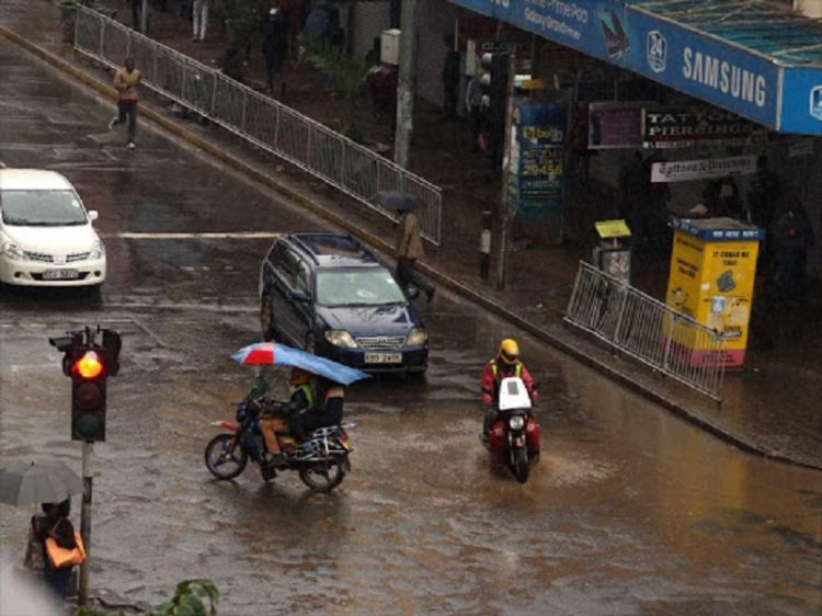
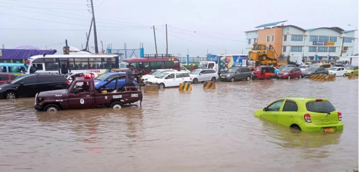
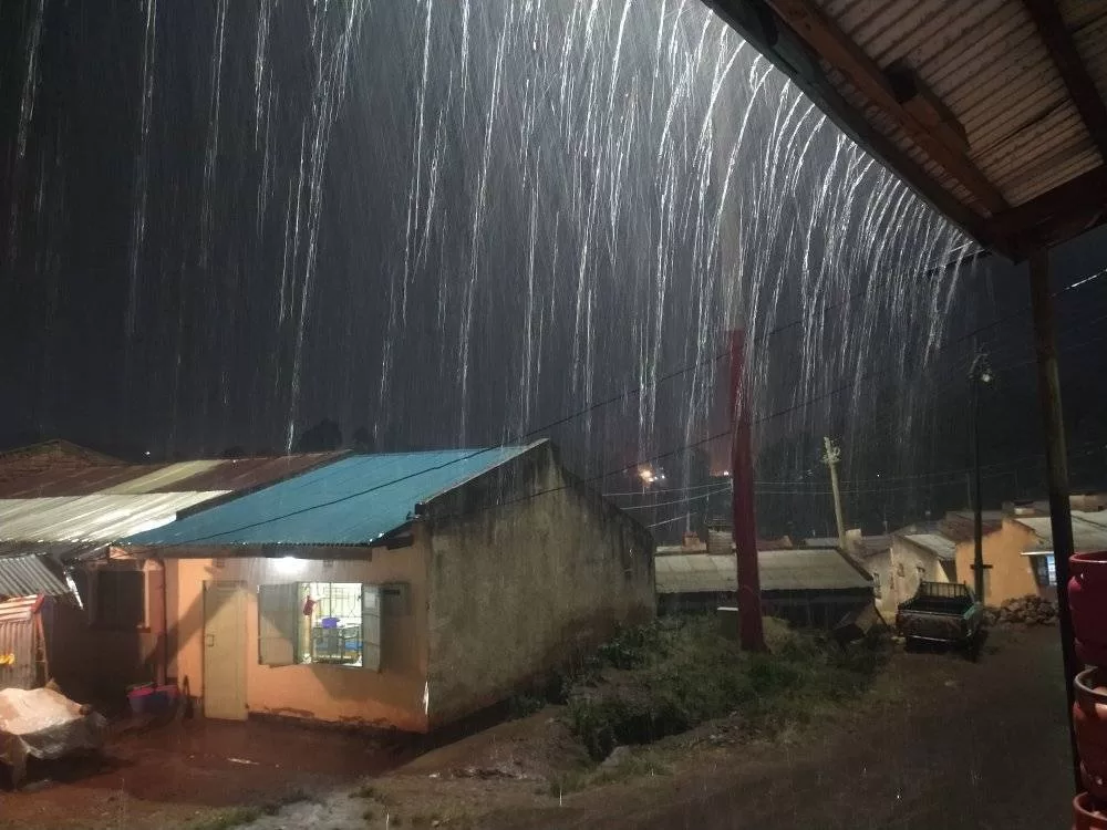
Over the Easter weekend, the heavens finally opened up in some parts of Kenya, adding on to the slight rains that had already began to be experienced in the country.
The downpour, however, was inordinately delayed. For in Kenya, the period between March and May has historically endured a season categorised as long rains.
However, more than two months in, the long wait for the rains led to conclusions that they may have failed.
Acting Director of Meteorological Services, Stella Aura, says areas in the Western highlands including Kakamega and the Lake Basin region, the central highlands and the coastal strip will continue to receive light rains but warned they would also be erratic.
Business Today sought to engage the expertise of meteorologists to assess what, if any, went wrong with the rains.
Sitting down with weathermen at the Kenya Meteorological Department, this is what those monitoring our country’s weather patterns had to say:
How do you develop the weather forecast?
According to weathermen at the Kenya Meteorological Services, the use of technology greatly influences weather forecasting.
KMS Senior Assistant Director Nguatah Francis said weather patterns are monitored at the facility’s headquarters that is located at Dagoretti Corner along Ngong Road, Nairobi.
“For us, we need not even go outside. We monitor far and wide beyond our country and the beauty of the weather is that there are no boundaries as we have to co-operate with each other,” says Nguatah, a one-time regular feature on Kenyan TV screens.
The Met Department uses models, which are equations developed by scientists for different weather parameters. A model behaves like the atmosphere where meteorologists key in commands from observable data so as to “predict” potential weather outcomes.
For weather forecast, the department also looks at factors such as air pressure, wind direction, wind speed, and temperatures.
The Meteorological Department works for 24 hours, with weather patterns from every region being recorded every hour.
Over what periods is the weather forecast?
There are on average four types of weather forecasts:
- Short range forecast – Depends on where you are, and may measure around the next 15-30 minutes.
- Daily forecast – 24 hours forecast that relies on real time data.
- Medium range forecast – covers between two days to one month.
- Long range forecast – seasonal, over a period of three months and which is more involving and includes different stakeholders as well as using archived data.
“One forecast updates the other, for example, the medium range will occasionally be updated by the daily forecast,” says meteorologist Frederick Masambaya.
Why did the rains delay?
Background
According to the weathermen, high pressure cells influence where wind is blowing from, which in turn influence weather patterns.
The high pressure cells are located in the Indian Ocean (south-east of Africa), in the Atlantic Ocean, over the Arabian continent and off the coast of Europe.
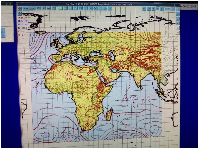
Pressure cells aren’t static and keep moving and changing in terms of their properties, says Nguatah.
“The strength of pressure cells plus where it is facing influences wind speed,” he says.
Sun’s Position
As the earth rotates on its own axis and revolves around the sun, the positional changes of the sun influences weather. Over the course of a year, the sun’s position ‘moves’ from the southern hemisphere to the northern hemisphere, and back to the south.
“Luckily for us in Kenya, the sun passes our region twice whereas other regions only get the sun overhead once. So [in other areas], if it has passed, it has passed. But for us, we get it twice. That is why we have two rainy seasons.” says Nguatah.
He also explains that even though in Kenya we name our seasons short rains and long rains, the performance of the rains may vary and even depend on geographical location.
“I was the county director in Kieni, Nyeri. For them, the best season is October to December (short rains). Whereas in other areas, it is March to May (long rains).”
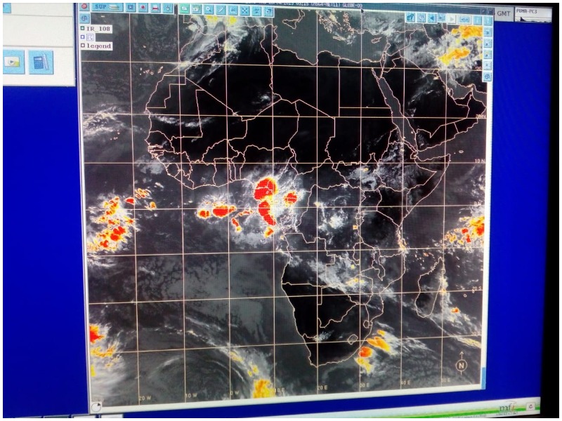
Currently, as the sun is going to the north, it is followed by the wind convergence area, where the cloud system is sitting. This wind convergence system is known as the Inter-Tropical Convergence Zone (ITZ). The ITZ belt is mainly what is responsible for the long rains in Kenya at this time.
At the same time, cloud mass from Congo (which is heavily forested) merges with the ITZ and that is why sometimes you find areas of Western and central Rift Valley benefiting from that intersection.
“The pressure cell [from the Indian Ocean] should push the system to the North, but these pressures have been weak and they aren’t pushing the system to the North properly,” says the veteran weatherman.
Is this situation likely to change?
As at the time of the interview, the clouds bearing heavy rainfall had been pushed to the sides of Africa, according to a real time data showing of the map of the continent.
The ITZ system is supposed to be sitting around the East Africa region, therefore, as Nguatah says, “what is supposed to be following the sun is not even there.”
At the same time, Nguatah says that there may also be a possibility of the strength of the pressure cell pushing the ITZ system too far north, therefore bypassing Kenya, which initially raised the possibility of the long rains failing.

Despite the situation, Nguatah, who used to prepare weather forecasts for public broadcaster KBC, though the rains finally arrived, they will not be as much as is usually expected for this season.
He adds that there’s a question of whether it will be meaningful rain for different range of individuals concerned.
For example, a heavy storm may not be beneficial to an individual. To a hydrologist, however, they may have fulfilled their requirement for water in dams. This one time storm may also not be beneficial for farmers, who need consistent downpour over a time period. “So there are many factors.”
What the weather forecast means when it says;
Rain in few places = 0% to 33% of an area
Rain in several places = 33% to 66% of an area
Rain in most places = 66% to 100% of an area
In some areas, the Met Dept is predicting rains to continue in a few places. In other years, the forecast would be rain in most places.
However, Masambaya cautions by saying, “few places is between 0-33% of an area. It does not mean the whole area is going to rain.” He explains that is why the country had been experiencing rains in some places and not in others.
Was Kenyan rains really stuck in Tanzania?
At the time that one newspaper ran a headline saying that Kenyan rain was stuck in Tanzania, the ITZ system was sitting in the country south of Kenya. “But now, it is not there.”
Why is the weather forecast not always accurate?
“Of course, there’s a slight disparity in terms of accuracy,” says Masambaya, who also says that a long range forecast will differ in accuracy before they are updated by the shorter term forecasts.
However, KMD also says that how weather is covered in the media causes misunderstanding. Sometimes, there is no clarity over of what it means to say rain will be experienced in few, several or most places, leading to a perception that the whole area will experience downpour. “Then when it doesn’t, people say the forecast was not accurate.”
[Read: Church pulls in different directions in war against graft]
According to Nguatah , the forecast from KMD, which is shared with many stakeholders such as the aviation industry and agriculturalists, is on average 80% to 100% accurate.




1 Comment