Did President Uhuru Kenyatta change the original route of the SGR line to benefit his family? That’s the question that many Kenyans will be asking after it was revealed today that the president influenced the decision to have the SGR pass through Naivasha town.
NASA presidential candidate Raila Odinga claimed the ongoing standard gauge railway (SGR) was diverted to Naivasha to benefit the family of President Uhuru Kenyatta.
Raila said that the dry port and the line through which the SGR would pass was land owned by President Uhuru and his family. Raila noted that the original SGR route was meant to be constructed from Mombasa to Nairobi and then direct to Kisumu.
“The move to divert the SGR to Naivasha is meant benefit the Uhuru family which owns the land where the industrial park will be located,” he said.
SEE: 10 most painful facts about the SGR
Raila questioned the rationale to construct the dry port in Naivasha noting that the lakeside town did not even have an airport.
“When Kibaki and I gave nod to the project, it was meant to start from Mombasa to Kisumu but due to some poor leadership it has been diverted to Naivasha,” he said while campaigning in Naivasha. “We wanted this SGR to run to where there is a port and an International airport but Jubilee’s greed has changed the entire thing,” he said.
Related: Kenya Railways introduces mobile payment for SGR trains
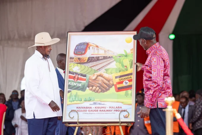
Phase 2A, which covers the extension of the Standard Gauge Railway line to the Geothermal town of Naivasha was launched by President Uhuru on September 2015. This new line will be undertaken by China Road and Bridge Corporation (CRBC) at a cost of Ksh105 billion.
The Nairobi-Naivasha line is an extension of the the Mombasa-Nairobi line and construction is expected to start in 2018. It will be financed by China EXIM Bank.
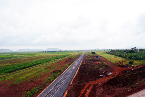
The route to Naivasha
Phase 2A of the SGR line runs across parts of Nairobi, Kajiado, Kiambu, Nakuru and Narok counties and covers 120km. It will follow the escarpment to Mai Mahiu, cross road B33, pass south of Mount Longonot to Naivasha.
The route starts from the west end of the Nairobi South Hub (end point of the Mombasa – Nairobi SGR). It then turns south-westwards through the Nairobi National Park and west past Twala and Ongata Rongai towns. The line will then cross the Magadi Road next to the Adventists University and Ngong Road at Embulbul.
Next Read: Kenya’s biggest supermarkets in deep financial hole
It then descends into Rift Valley through a tunnel located North-West of Ngong Hills and proceeds North-West to the proposed Industrial Parks at Mai Mahiu and Suswa where it crosses B3 at Duka Moja. For this section of the project, the length of the sub-grade will be 87.98km, (73.3 per cent of the total length), the bridge works 23.96km long (20 per cent) and tunnels 7.756km (6.7 per cent).
Once complete, it will link the port of Mombasa to the Naivasha Industrial Park which will have a dry port.
What’s your take on this article? Scroll down to leave your views in he comments section
[crp]


Leave a comment